-------------

Drone Videography and Photography

To sell faster and smarter, put your company in the spotlight with stunning Drone Videography and Photography.

Creative Aerial Videography & Photography

We attempt to capture the most captivating vistas that are normally difficult to see as pioneers in the drone industry. Our talented drone cinematographers have continued to dazzle our clients with their spectacular drone videos and photographs all over India. Drone photography and videography is a popular tool for event coverage, tourism promotion, real estate advertising, and other uses, and we can handle it all!. Our top-tier professional filmmaking drones capture the spirit of aerial photography with their adaptable high-resolution sensors. Even so, without a well-known drone pilot, a high-end drone is useless. By embracing the knowledge and creativity required, our professional drone pilots surely provide beautiful Drone photographs. Thanks to a committed team of video editors, we translate aerial videography into the excellent experience that our clients deserve.


We conduct high-quality aerial photography shoots to deliver panoramas, images, and video tours of nearby facilities. Comprehensive and imaginative aerial imagery enables businesses to sell their property faster and more appealingly to their clients.Drones like the DJI Mavic Pro, DJI Phantom, and DJI Inspire 2 allow us to work more freely, quickly, and cost-effectively. While maintaining crowd safety, our Drone cameraman captures spectacular footage of events with 4k Resolution and 20 Megapixel Drone Images. Quadcopters are used to capture airborne photos of power plants, high voltage towers, buildings, nature, and events, among other things. With aerial photos, you may get a whole new perspective on your project!

We can assist you with


Aerial Photography

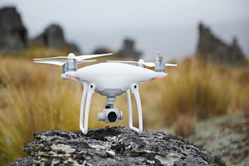
With the help of expert drone cinematographers, we deliver magnificent 20MP high definition aerial photographs of clients' assets and property. Our Drone Cinematographers capture images that meet the needs of our clients, such as residential photography or photography for hotels and resorts. Our pilots are incredibly creative, and they understand and deliver on our clients' ultimate objectives.

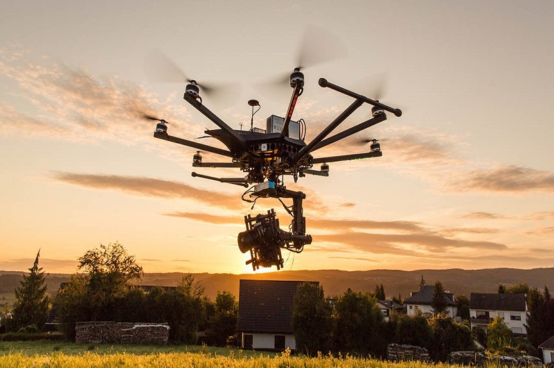
Our top-tier professional filmmaking drones, which are equipped with adaptable high-resolution sensors, capture the spirit of aerial photography. Nonetheless, without a well-known drone pilot, a high-end drone is useless. As they embrace the knowledge and creativity required, our professional drone pilots surely deliver breathtaking Drone photographs. We transform aerial filming into the excellent experience that our clients deserve with the help of a professional team of video editors.

Aerial Videography

Our customers can select from a wide range of stunning 4k High Definition Drone Videos. Our Drone Cinematographer captures amazing Drone videos according to our clients' needs using our high-end filming drones. Our video editors make drone footage more appealing, helping our clients to attract more customers and generate revenue.

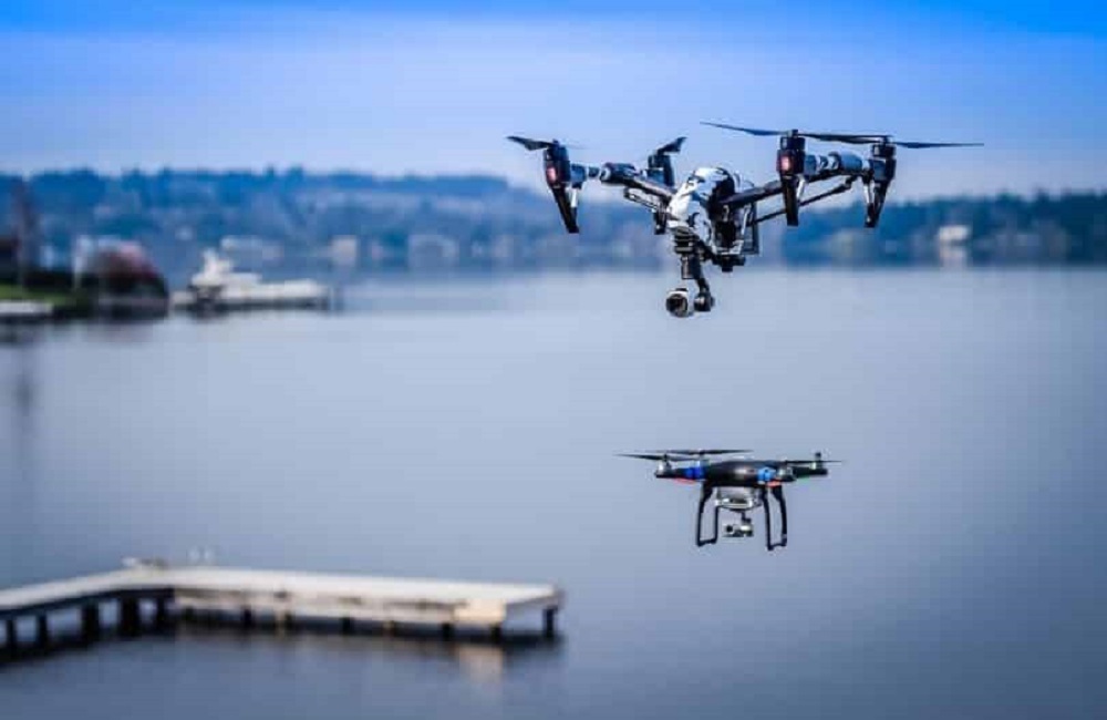
Video making is a pattern now daily as it clears the image whatever it is. The data is given precisely and finely. Robots are being used broadly in video making in elevated and submerged photography with much accuracy and brilliant outcome. Robots don't meddle with one another signs so you can utilize numerous robots in a solitary region. Robots can travel rapidly noticeable all around because of light weight and catch pictures at various points giving high-goal pictures and recordings.

Our Features

10x Faster Data Acquisition

We capture aerial data 10x faster than our competition thanks to our team of expert drone pilots and survey-grade drones.

5x Faster Delivery

We have a team of GIS professionals working around the clock to handle and analyse the data from the drone survey so that we can deliver on time or ahead of schedule.

99% Accurate Measurement

We provide findings that are up to 99 percent accurate. Machine Learning is used to process data in order to improve yield estimation, volumetric measurements, and other tasks.


Advance Equipment

Our research Drones are high-tech, with high-resolution sensors that provide higher data quality. For surveying, we employ DJI and custom-built drones.

Team of Experts

Our staff of highly skilled GIS engineers, drone pilots, and software engineers are available 24 hours a day, 7 days a week to offer you with the finest possible service.

One to One Support

We give all necessary assistance to our clients from the beginning to the end of the project, assisting them in making better decisions using Survey data.