800
1000
1500
2500
Cojag work closely with their customers and help in comprehending their needs and requirements. Then the plan is developed and finally implemented by the team with full expertise to provide the best solution.
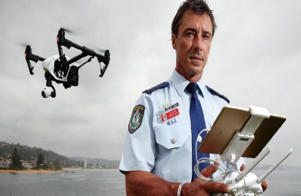
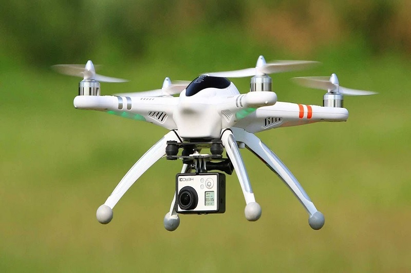
Our heavenly Aerial Drone Surveying/Mapping methods are here to elevate your prized business to a higher level by protecting time and cash.
Use Aerial Drone Inspection and jump onto the excursion of further developed effectiveness, more noteworthy security, and lessened dangers of resources.
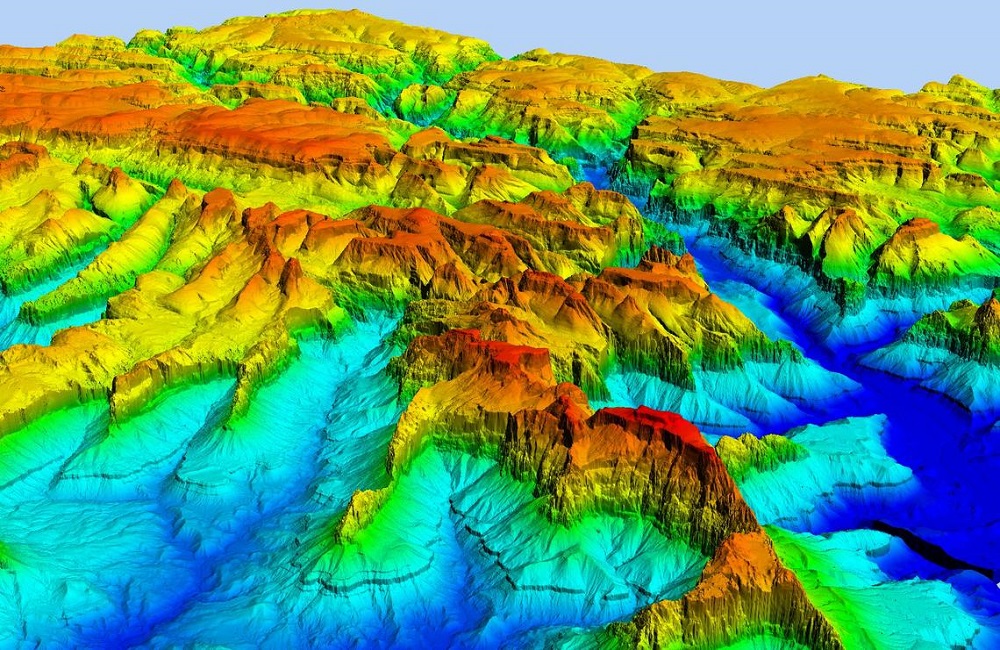
Disentangle the vault of top notch UAV Data through our Aerial Data Processing arrangements, and art your vision into the real world.
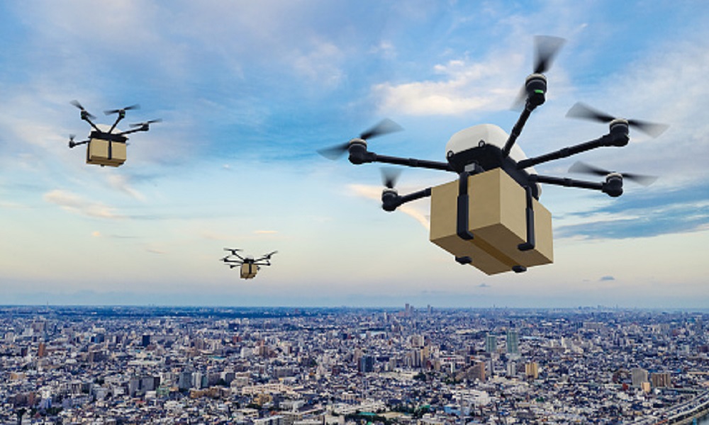
With breathtaking Drone Videography and Photography, showcase your business in the spotlight to sell faster and sell smarter.
Cojag works in various fields to serve multiple industries meeting its required criteria and delivering them the best solutions. Every details in all aspects are taken care for every industries which is to be served us.
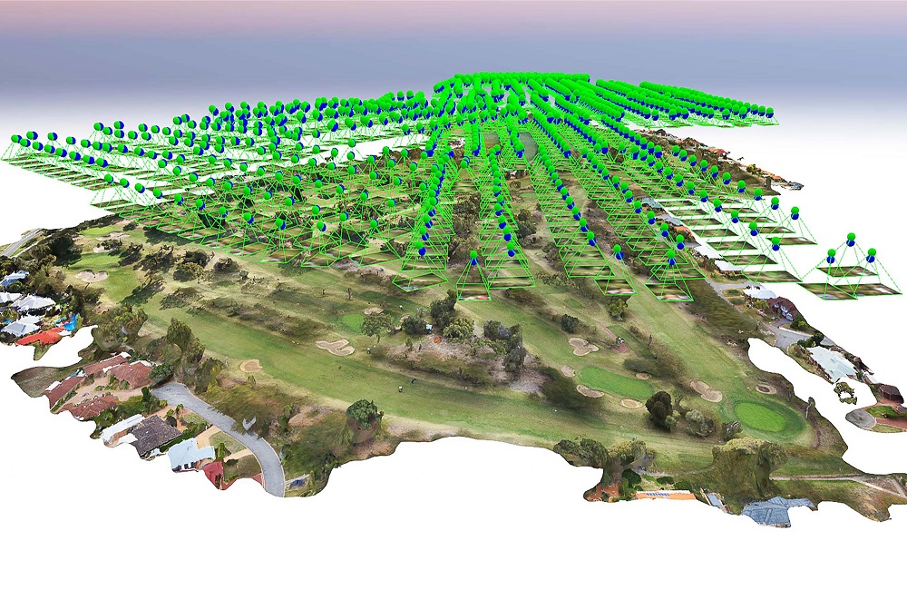
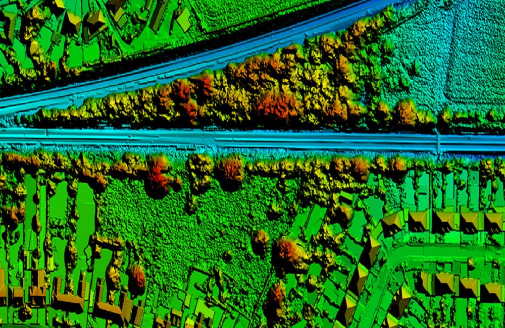
Rail line and interstate undertakings upheld with GIS, geology overviews, flying guides, and UAVs created with the top of the line progressed sensors for reviewing, Monitoring and Inspection bring about upgraded productivity and the executives.
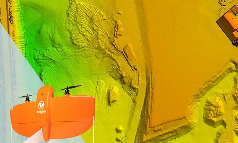
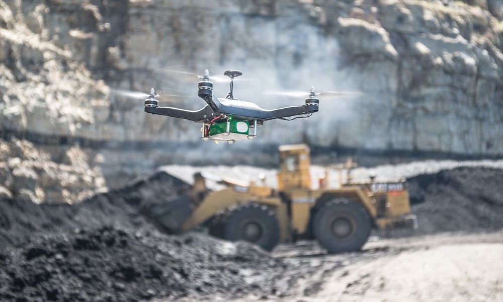
Monitor your basic resources with AI-fueled Volumetric Measurement and investigation with close to 100% exactness. We offer almost 30x quicker information assortment for Haul Road Optimization, Mine Exploration, and innumerable other UAV Powered Services.
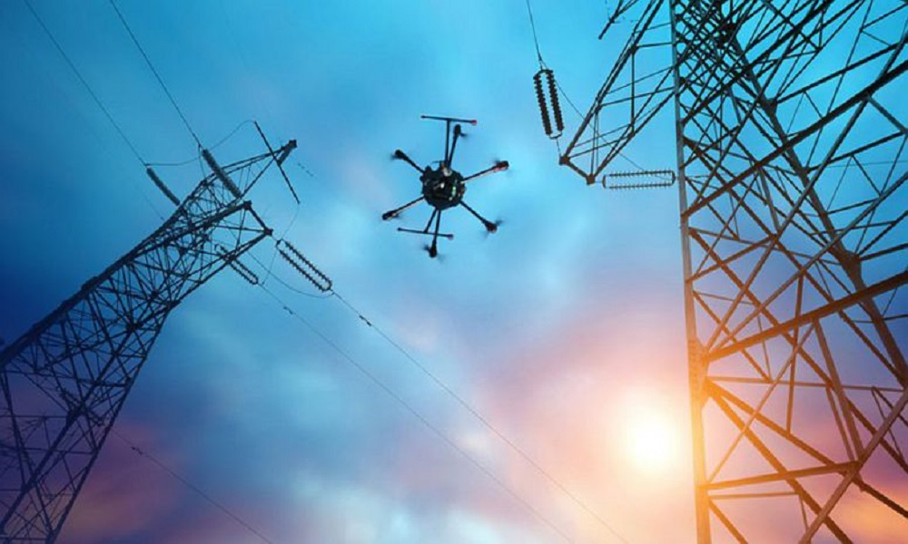
We stretch out our administrations to identify, follow and examine harm on Utilities utilizing the state of the art drone UAV Technology supported with ensured Centimeter-level Accuracy.
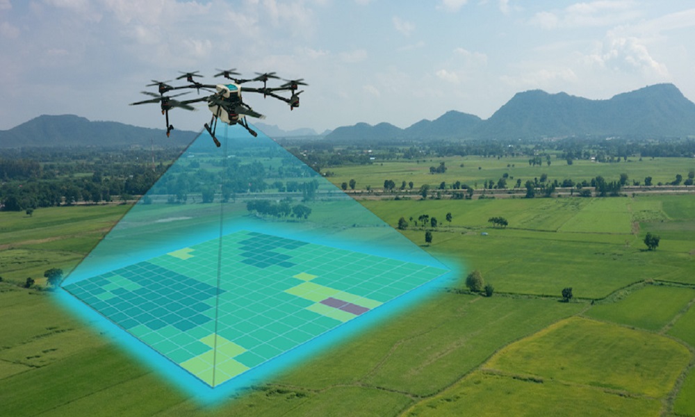
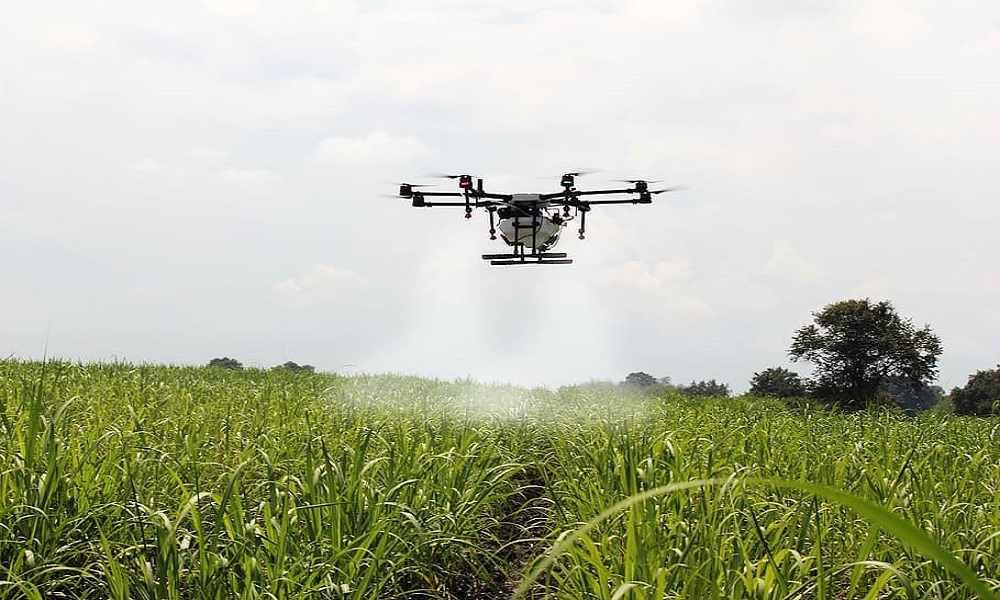
Through our elevated overview, planning, and very good quality UAVs spearheading accuracy agribusiness, Crop wellbeing examination, Irrigation Planning, Crop Damage Assessment, soil investigation, and so forth, we provide food effectively to the agrarian local area with 98% Accuracy.
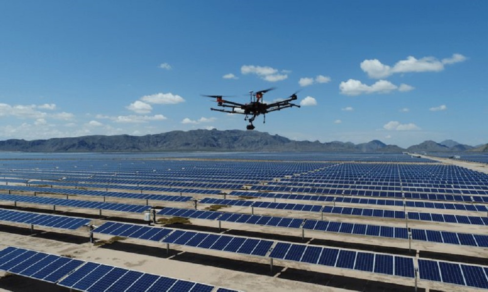
Advance solid information obtaining and lessen hazards related with sun powered and wind turbine investigations. By Employing and putting resources into AI-Powered Surveys, warm guides, and warm review, save your resource in first rate condition.
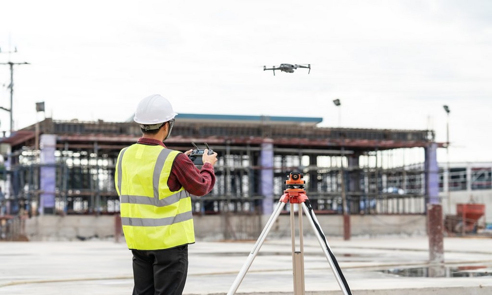
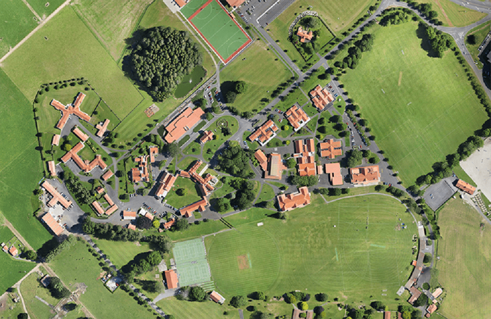
Our GIS specialists are here to propel information toward your undertakings with profoundly prepared UAVs for 3D City models, Pre-Construction Aerial Survey, drone recordings with GEO-Tagged data, drone assessment, City Traffic Analysis, and so on.
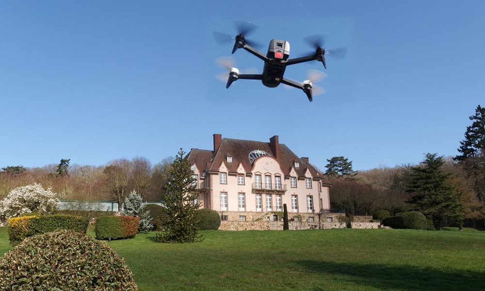
Land drone photography can help upgrade private and business property highlights. Elevated photography with drones is innovative and alluring.
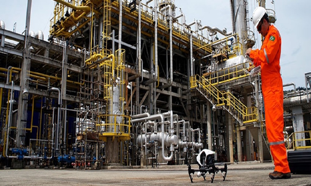
Oil and gas organizations use drones or UAVs for pipeline examinations and other fundamental capacities to guarantee wellbeing, exactness, and cost-viability.
Cojag work closely with their customers and help in comprehending their needs and requirements. Then the plan is developed and finally implemented by the team with full expertise to provide the best solution.
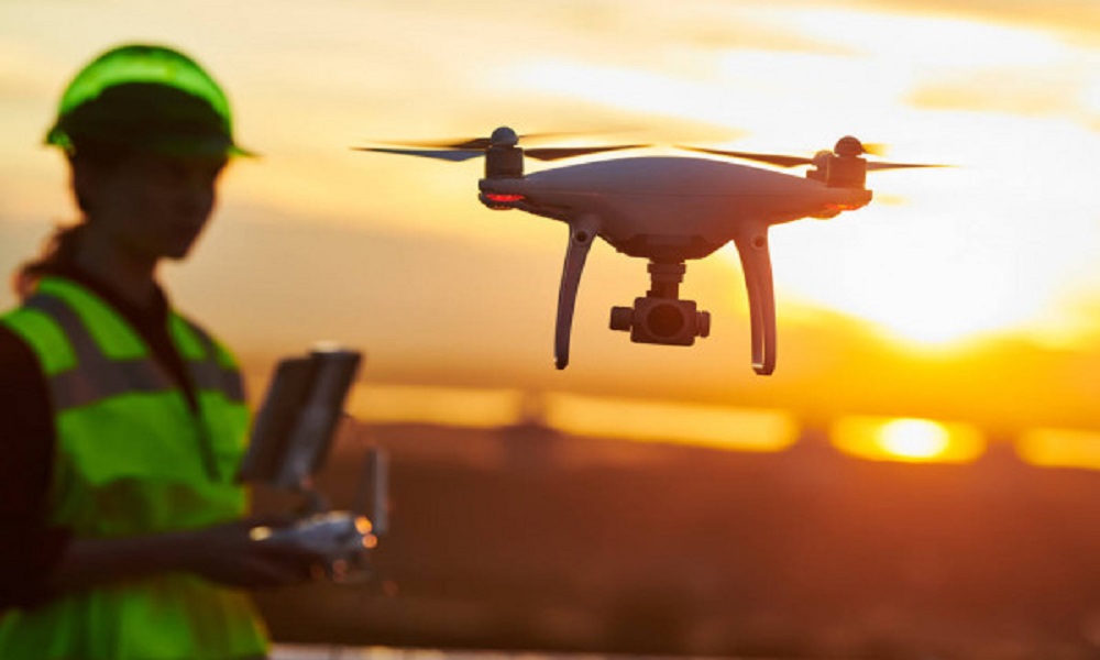
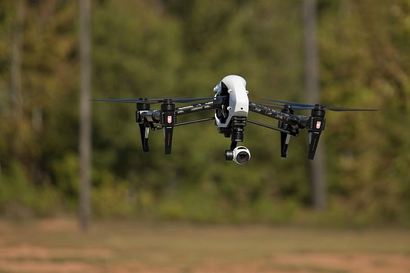
Drive through your drone ambitions with the promise of the best drone pilot training in India. Our experienced and qualified team of seasoned trainers strives to take you to higher peaks.
Focused and valuable, our advanced training in imperative drone courses accelerates your learning process. Our drone pilot training and DGCA recognized courses allow you to have a rewarding career path.
With a training certificate that enhances your understanding of drone technology, our UAV pilot courses are pushing the limits of your understanding and knowledge. As a catalyst for your learning, we strive to enhance and expand your learning experience.
With breathtaking Drone Videography and Photography, showcase your business in the spotlight to sell faster and sell smarter. We want to achieve this with our growing network of drone pilots who are valued for their work.
Discover your ambitious passion for drone piloting with our thriving internship and grounding. Our dedicated drone network enhances your versatility in drone technology and operations.
We empower you through your burning need for drone knowledge and shape you in an outstanding and lucrative way. Inspired by this, we offer our students the opportunity and experience to be deployed in our network of drone pilots and to work closely with us.