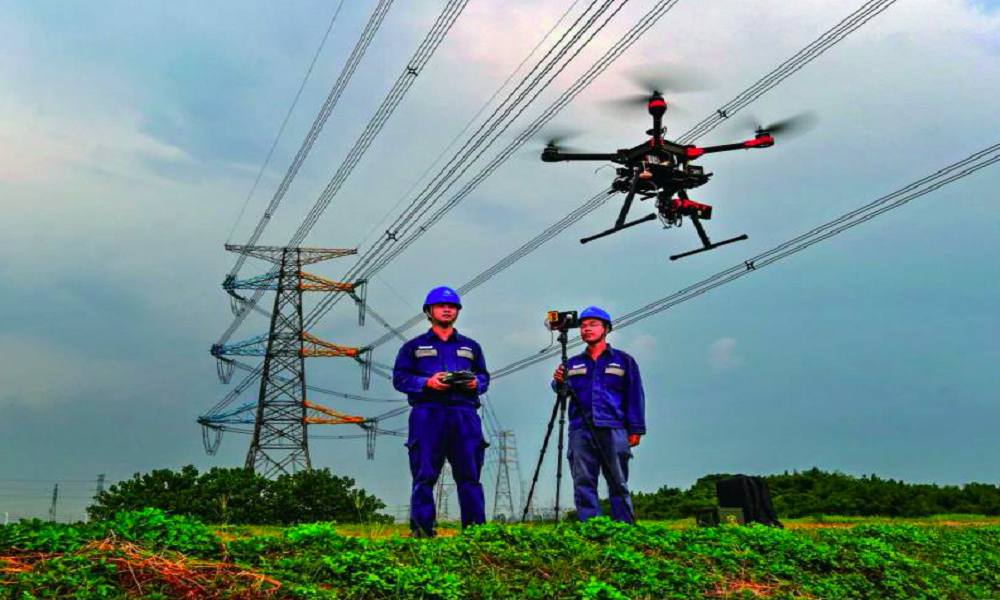
We can discover Towers Concrete foundation faults, Insulator overheating, Wire excessive heat, Wiring breakage, Towers mechanical defects, Wire sagging estimate, and other issues with great precision using our Drones powered Aerial Inspection. Our Powerline Inspection drones are fitted with ferro-magnetic shielding, allowing them to fly near to powerlines securely.
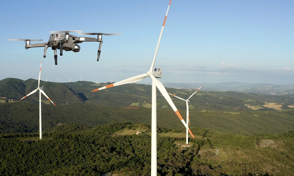
With our next-generation drone Turbine and Blade inspection services, we can assist our wind farm clients increase efficiency, reduce downtime, or improve turbine security. We can check up to 15centimetres deep into a wind turbine blade, and spot faults as little as 4micrometres, thanks to our inventive and highly experienced drone pilots.
Through our revolutionary Drone Solution, we assist our solar farm customers to achieve optimum efficiency, energy output, and a faster return on investment from their solar farms. The drones data assists our customers in detecting cell failure, solar cell degradation, decreases in operating efficiency, and other issues. For excellent inspection service, our Drones are equipped with high-quality temperature sensor.
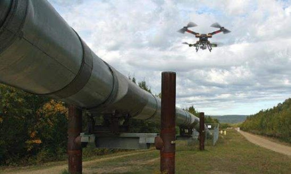
Aerial gas and oil pipeline inspections is far faster and more reliable than older approaches. Pipeline erosion detection, elevation monitoring, below surface pipeline asset inspections, spillage able to monitor, pipeline leakage detection, pipeline route optimization, and other services are provided to oil and gas corporations.
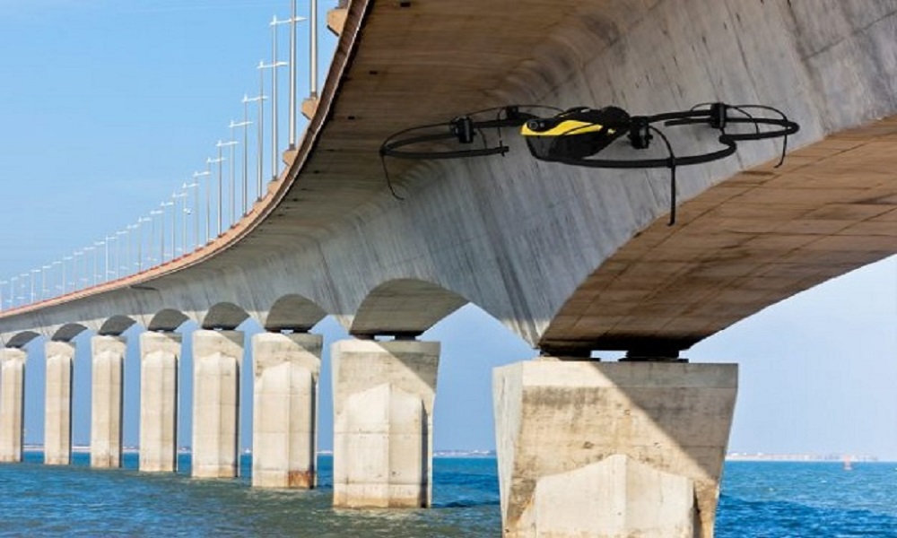
It is highly easy to complete an examination of a busy highway/railway bridge with Aerial Inspection in much less times but at a lesser cost. For a thorough inspection, our professional drone pilots use high-end drones to acquire superior quality aerial data. We conduct aerial inspections while protecting the safety of the people and staff.
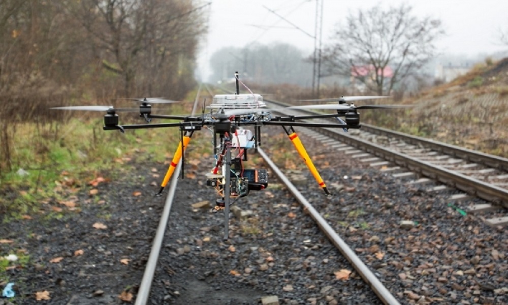
Drone inspection is the best method for inspecting and maintain a high railway lines on a regular basis. We inspect track parts such as Switch Motors, Points Levers, Point Machines, Conversion Facing, Point Locks, Joints, Guard Rails (Check Rails), and so on.
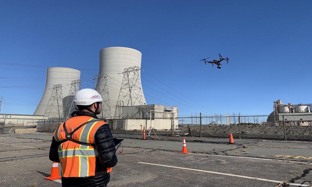
Regular service and inspection of cooling systems are critical to extending the life of the tower structure and avoiding tragedy. Aerial examination of these towers using our drones equipped with innovative sensors collects rapid and precise info, whereas manual inspection takes so long and is dangerous for the inspection team.
The preservation of historical landmark buildings is critical to maintaining our country's legacy and history. Aerial Drone Evaluation provides higher data that allows for an in-depth and accurate inspection of the structure. Regular Aerial Inspection aids in the monitoring of the structural stability of structures or monuments. For additional information, please contact our team.
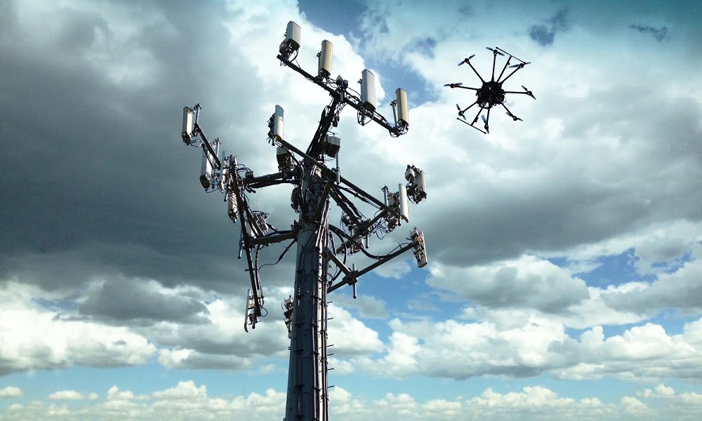
Our cell tower aerial inspection service assists cell firms in identifying structural issues, possible hazards or damages in cell tower equipment, and so on. Our information assists businesses in reducing operational errors and increasing efficiency while lowering costs.