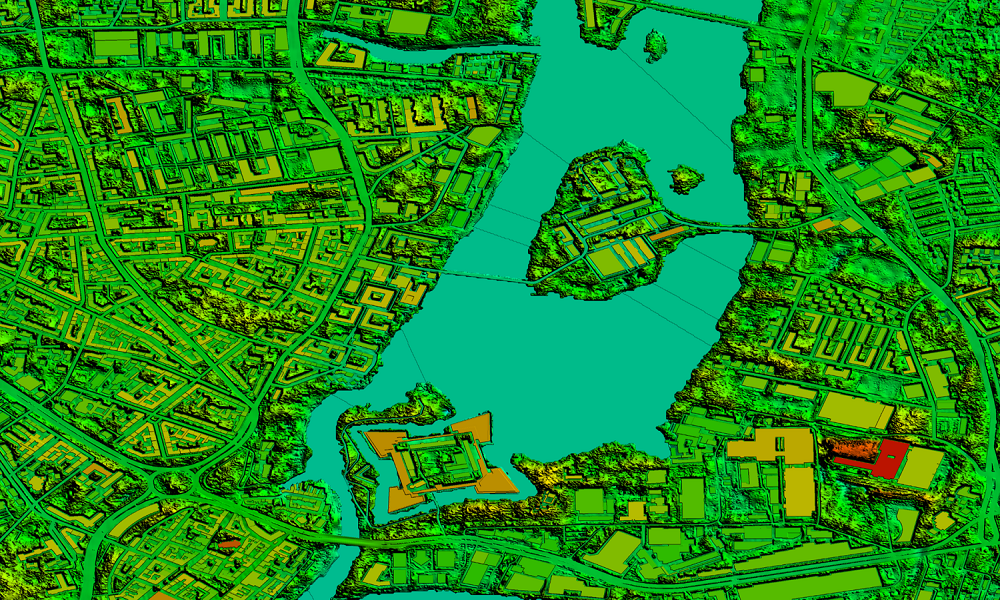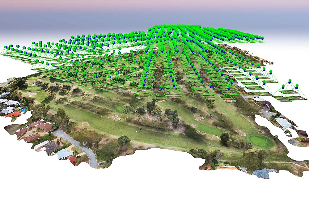
In locations where low-quality, old, or no data is available, survey drones produce high-resolution orthomosaics and comprehensive 3D models. As a result, even in complicated or difficult-to-access areas, high-accuracy cadastral maps may be created swiftly and efficiently. Surveyors can also extract elements like signs, curbs, road markings, fire hydrants, and drains from the photos. Our GIS team uses photogrammetry software to post-process the data and provide outputs such as a detailed Digital Elevation Model (DEM), Digital Terrain Model (DTM), contours, brake lines, ortho-mosaic/ortho-imagery, interactive 3D Mode, and 3D reconstructions of land sites or structures.
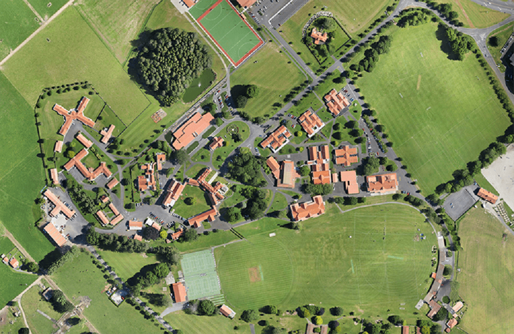
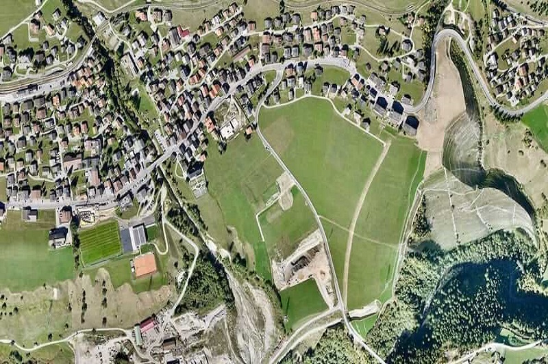
For a more thorough land planning and management process, we urge companies to use topographic surveys. Our history in land management and development has aided various business and government entities in securing pre-construction planning by providing well-defined and more timely data. Site exploration, allocation, planning, design, and the final construction of roads, buildings, and utilities are all priorities for us. At a low cost, accurate aerial surveying/mapping and topography mapping at regular intervals maintain the course of construction and plans.
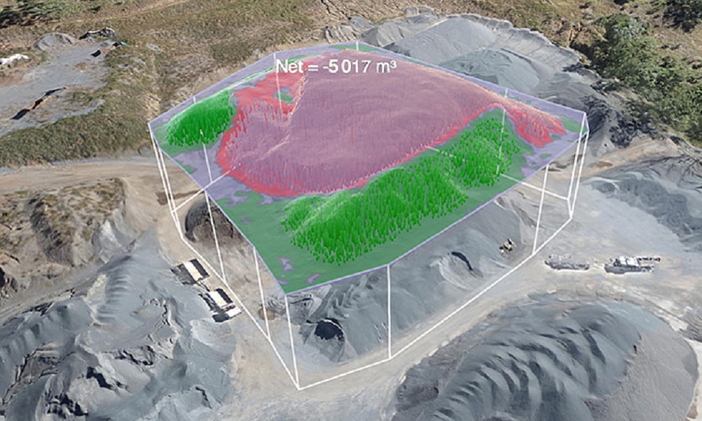
Drones are a popular and widely used means of measuring stockpiles in the sector. With our highly refined surveying drones, our pilots can undertake Stockpile analysis and acquire large topographic data points that standard methods cannot discover owing to their irregular forms. All of these variances may be captured and depicted as the shape's true volume, not just an estimate, using surveying. With a nearly 99 percent accuracy rate, we supply photogrammetric information strategically and effectively through Contouring, Digital Surface Models, stockpiles such as garbage, mines, inventories, agricultural, and volume measurements.
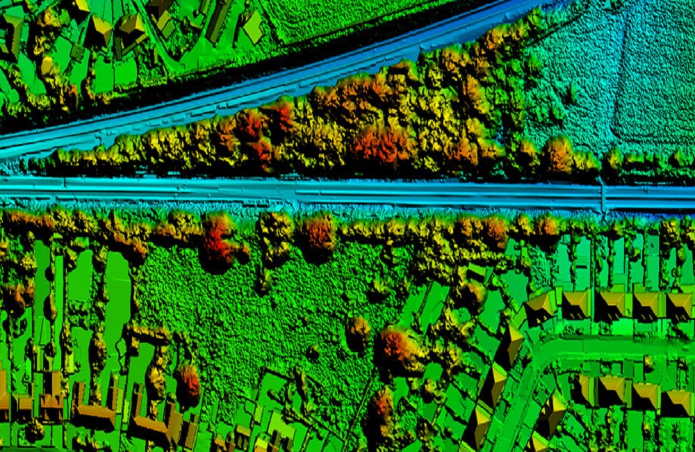
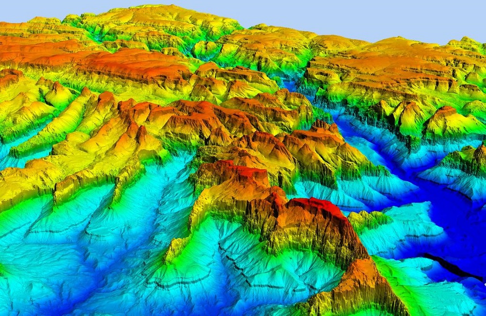
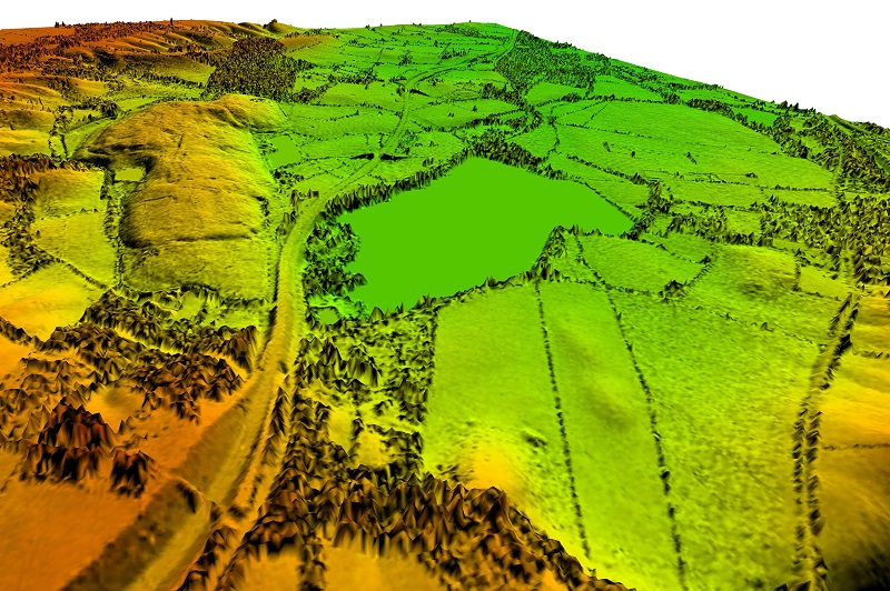
Slope failure is a geologic hazard that must be discovered early in order to avoid danger. Using the Digital Terrain Model (DTM) and Digital Surface Model (DSM), our specialists' slope monitoring procedure using GIS mapping successfully detects the steepness of the ground's surface (DSM). This data, together with the LIDAR survey data, is critical for slope monitoring, landslide mitigation, and slope failure prevention. Aerial survey mapping is another useful technology used by experts to follow the Earth's movement in order to foresee and avoid such harm.
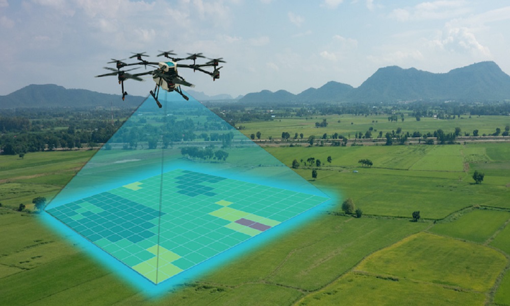
Drones are now widely used in urban planning, thanks to incredible developments in drone technology. Due to AI processing and machine learning, drone surveying allows us to collect massive volumes of data fast and at reduced costs. We have passionately shared our knowledge with a number of commercial builders and government organisations in order to plan and assess the existing social and environmental circumstances on the sites. Capturing high-resolution aerial data, LIDAR scans, and other important information using cutting-edge drone technology is an important component of our success.