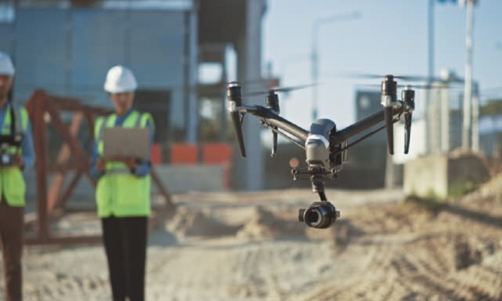
Traditional inspection techniques frequently require greater investments in labour and time, resulting in higher costs. However, UAVs equipped with High-Resolution Cameras, Video Cameras, Thermal Cameras, LiDar Sensing, and Ferromagnetic Sensors for data collection are emerging as the industry's future.
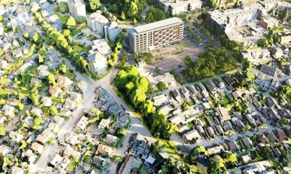
We can turn drone-captured images into valuable public engagement tools with the adoption of augmented reality on consumer devices and the use of pix 4D software for 3D visualisation. Buildings can be superimposed into their surroundings using mapping software, which contributes to a better understanding of the design.
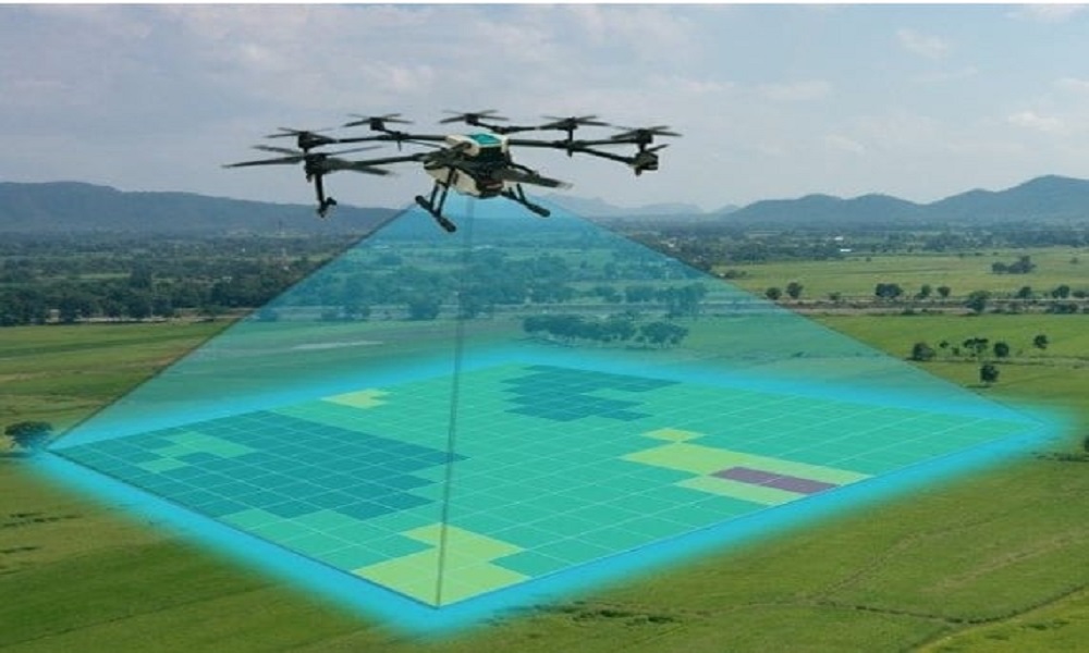
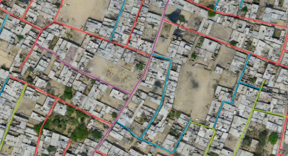
Drones equipped with high-resolution cameras, video cameras, and thermal cameras have made navigation and mapping of complex urban and rural projects simple and quick. This technological advancement is not only faster, but also more affordable and long-lasting. Aerial Surveys have aided in the advancement and application of virtual reality, complex 3D space scanners (e.g., LiDAR), and photograph meshing.
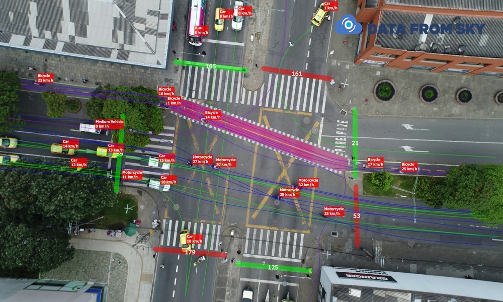
Drones have advanced to the point where they are now required by architects and planners. Unlike other traditional platforms, aerial or satellite, UAV drones have many technical advantages, including low altitude operations (very high spatial resolution) and data acquisition timeliness. Planners can easily remodel and craft cities using a comprehensive traffic analysis. Video analysis of traffic flow provides insights for a variety of applications, and we've seen these common practises with our clients.