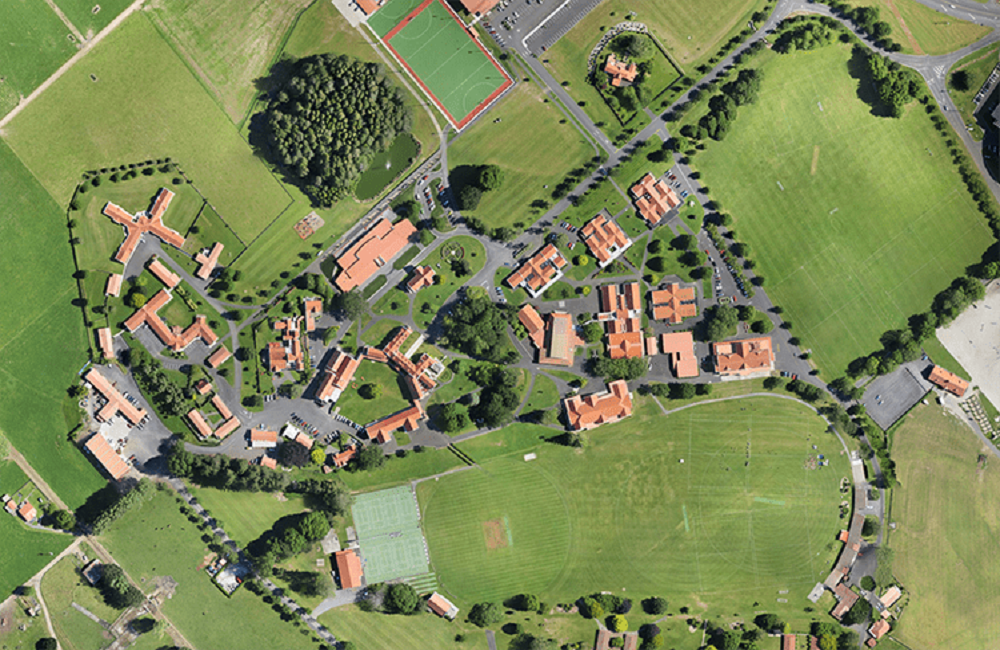
During post-processing, drone images are corrected for image distortion and stitched together to create a highly accurate orthomosaic map. Each pixel contains 2D geo-information (X, Y) and can obtain accurate measurements such as horizontal distances and surfaces directly.
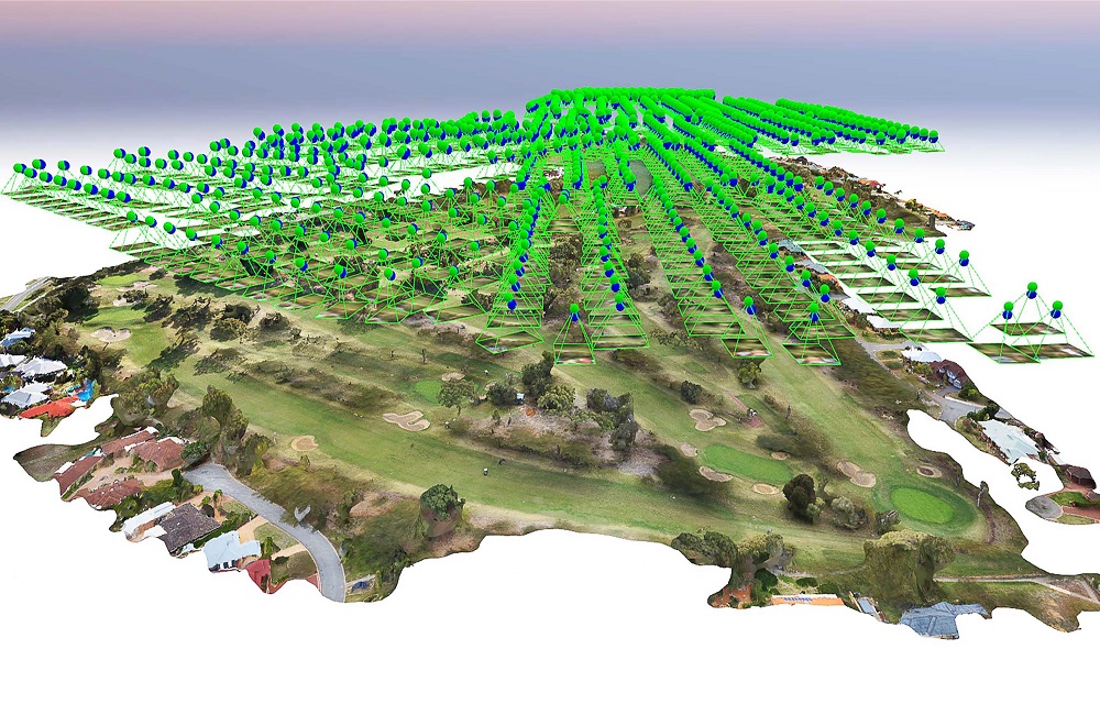
Drone images can be used to generate a densified point cloud. Each point includes geospatial (X, Y, Z) and colour data. It provides a very accurate model for measuring distance (both slant and horizontal), area, and volume. A point cloud is a collection of points that represent a three-dimensional shape or feature.
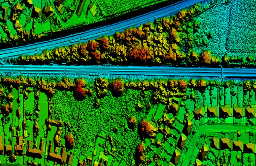
Drone photos can also be used to construct digital terrain models (DSMs) of the area. Each pixel comprises 2D data (X, Y) as well as the altitude (Z value) of the position's highest point. The natural and built/artificial elements of the environment are captured by a DSM (Digital Surface Model).
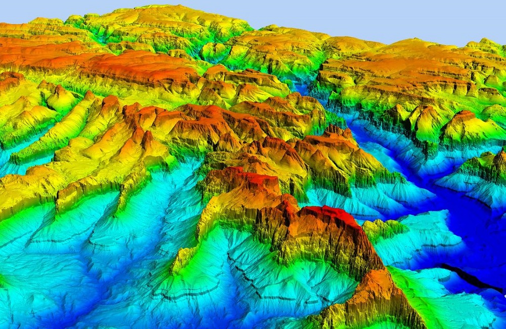
After filtering out objects like buildings, the drone images can be used to generate DTMs with 2.5D information encoded in each pixel (X, Y, and Z value of the highest altitude). A topographic model of the bare soil, or terrain relief, is referred to as a digital terrain model.
Depending on the project needs, a contour lines map can be created using either the DTM or DSM model with specific contour intervals, giving you a better knowledge of the surface of the area filmed by the drone. Contour maps show functions that have a two-dimensional input and a one-dimensional output.
The edges, faces, vertices, and texture of the area shot by the drone are replicated in the 3D textured mesh. This strategy is best for visual inspections or when a project requires the involvement of external stakeholders or the general public.